
Home> River Research> Pittsburgh Pool> River Inflows
River Inflows : Pittsburgh Pool
Noel Hefele
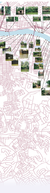
3 Rivers 2nd Nature conducted a photographic survey of significant sites that illustrate water outfalls from the land into our region’s rivers. With recreational uses of the rivers on the rise, it is important to understand the interface between the land we live on, the water that runs over it, and the rivers that run through it. The river inflows are coming from the surrounding land. The locations with a more natural context and consistent flow are more likely to be a natural stream. Sites that are either concrete or pipe can be identified as NPDES outfalls, CSO outfalls, or Stormwater outfalls.
Drains serve to remove unwanted water, however, unlike our garbage, this cannot be simply carted out of the county in the backs of trucks. Instead, it enters a system that, for better or worse, funnels all wastewater/stormwater into the rivers, and down the Ohio. The system is composed of both natural and constructed urban drainage schemes, with the two not necessarily acting in harmony. The built urban element constitutes a legacy of past decisions that may not be appropriate for the rivers’ recreational future. The rivers and streams that drain our cities, towns, and farms can no longer can be thought of as bottomless black holes for waste.
