Home> River Research> Ohio River> Riverbank Geology
Riverbank Geology, Conditions, and Access Reports Ohio River Pools 1, 2, and 3
Roman G. Kyshakevych, Ph.D. | Henry S. Prellwitz, Ph.D.
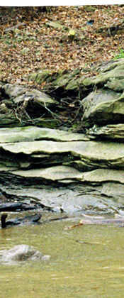
The intent of the 3R2N terrestrial study is to describe and document conditions of riverbank geology, accessibility, preservation and restoration potential along the Ohio River in Pools 1, 2, and 3, Allegheny County, Pennsylvania. Data collected during the 2003 field season includes bank and berm slopes, heights, material types and grain sizes, material conditions, accessibility potential, and floodplain identification. Data was collected along 1/10th mile sections of each bank, which were identified in the field with a Global Positioning Receiver (GPS). This data was entered into a database for later GIS and ARCINFO analysis. Riverbank access was graded into three categories and mapped with ARCVIEW computer software. Preservation data was also graded into three categories and mapped. The data from the access and preservation maps was filtered through a Boolean truth chart, and riverbank sections worthy of restoration were identified, graded, and mapped. Riverbank grain sizes and materials distribution were plotted for each pool and the resulting trends discussed.
